Autonomous ROV Inspection Protocols for Deepwater Subsea Pipeline Integrity
How high-resolution multi-beam sonars, 4K photogrammetry, and acoustic USBL positioning transform baseline surveys and defect classification across submarine pipeline networks.
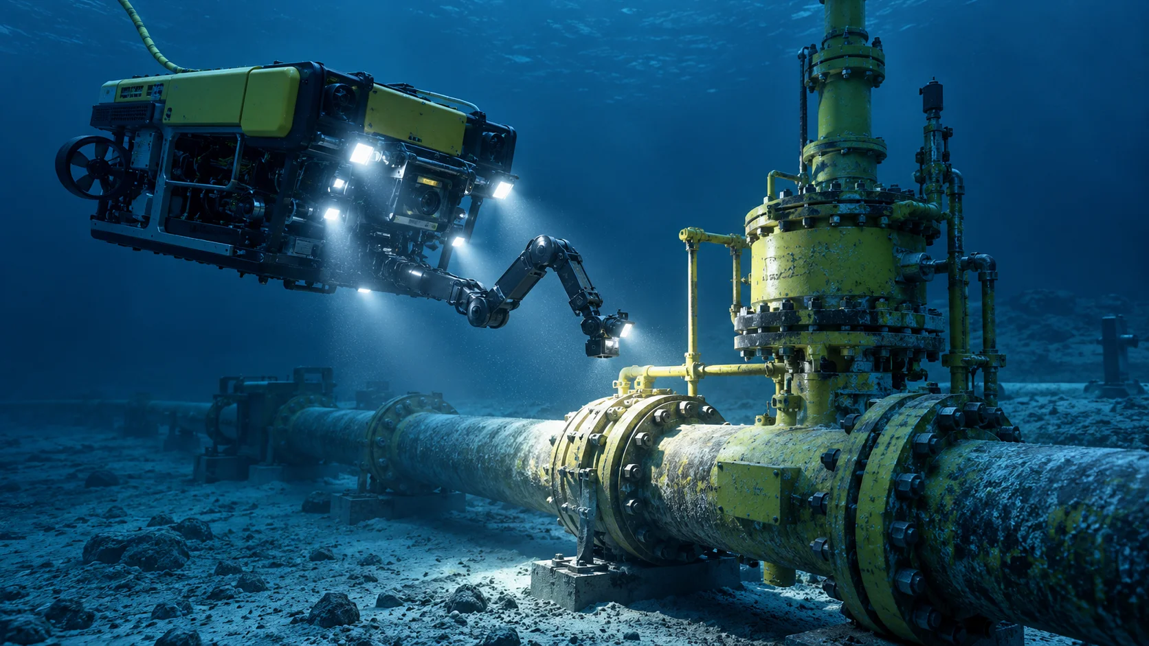
Illustrative visual representing engineering methodology at Thien An Offshore.
Executive Summary: Autonomous ROV Subsea Inspection
Transforming subsea pipeline baseline integrity surveys with next-generation autonomous ROVs, acoustic seabed mapping, and automated structural anomaly detection.
Autonomous Subsea Pipeline Survey with Next-Generation ROVs and AUVs
Subsea pipeline networks transporting hydrocarbons and offshore wind power represent vital energy infrastructure subject to harsh marine environments. Traditional pipeline inspection relying entirely on tethered work-class ROVs deployed from heavy dynamic positioning vessels incurs substantial daily operating expenditures and is highly sensitive to surface weather windows.
The integration of autonomous robotic systems equipped with hybrid tether-optional navigation enables close-proximity tracking of pipelines over hundreds of kilometers. Advanced trajectory-following algorithms allow the vehicle to maintain a constant survey standoff altitude of 1.5 to 2.5 meters above the pipe crown, compensating automatically for cross-current disturbances.
Acoustic Positioning and Millimeter Accuracy
By integrating Ultra-Short Baseline (USBL) acoustics with onboard inertial navigation systems (INS) and Doppler Velocity Logs (DVL), subsea coordinates are georeferenced with sub-decimeter precision. This spatial repeatability is indispensable when tracking annual free-span migration and scouring kinetics around seabed support crossings.
Multi-Beam Sonar & High-Resolution 4K Optical Photogrammetry
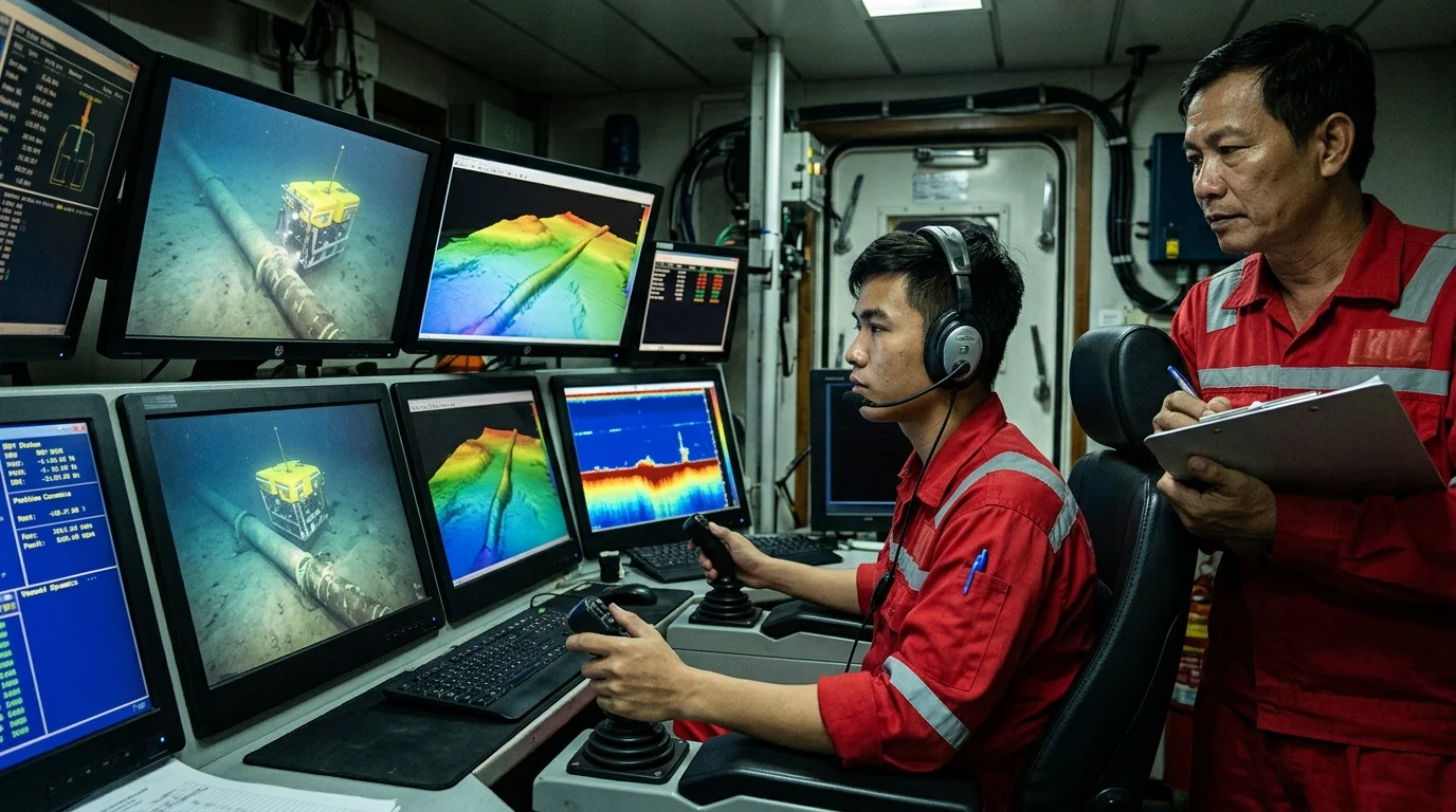
Subsea defect identification has advanced from grainy analog video to comprehensive digital twin generation. Synchronized multi-beam echo sounders emit high-frequency acoustic swaths that model the seabed bathymetry and expose spans where backfill sediment has eroded.
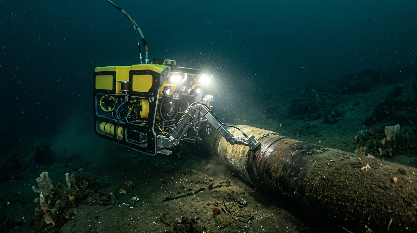
Simultaneously, calibrated dual-camera 4K optical systems with high-output LED arrays capture overlapping visual imagery. Computer vision photogrammetry software reconstructs dense 3D point clouds of field joints, sacrificial zinc anodes, and flange connections, enabling structural engineers to measure pitting depth and metal loss directly from desktop CAD workstations.
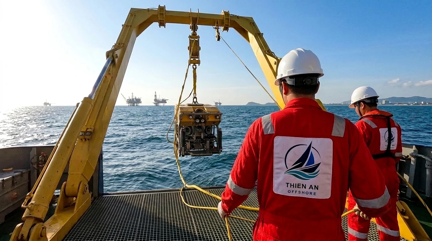
Field Operations: ROV Deployment & Subsea Pipeline Inspection
| Defect Classification | Inspection Sensor | Critical Threshold | Required Engineering Action |
|---|---|---|---|
| Free Span Exposure | Multi-Beam Bathymetry | Span length > 18 m | Grout bag support or sandbag stabilization |
| Sacrificial Anode Loss | 4K Photogrammetry / CP Probe | > 75% material consumption | Retrofit clamp anode installation |
| External Mechanical Dent | Laser Profile Scanner | Depth > 2.0% outer diameter | Finite element burst pressure re-evaluation |
| Heavy Marine Growth | High-Resolution Visual HD | Thickness > 60 mm | High-pressure cavitating water jet cleaning |
“Deploying autonomous ROVs paired with high-precision USBL acoustic positioning enables millimeter-accurate 3D seabed reconstruction while cutting offshore support vessel time by 40%.”
Subsea Inspection & Life Extension Services
Thien An delivers turnkey subsea inspection, repair, and maintenance (IRM) campaigns utilizing modern ROV spreads and certified marine engineering teams.
Comments & Discussion0
Sign in to comment quickly without entering your name and email each time.
Sign in with Google